(An Autonomous Body Recognized by Ministry of Commerce & Industry, Government of India)
Competency based placement focussed Education | Training | Research | Consultancy
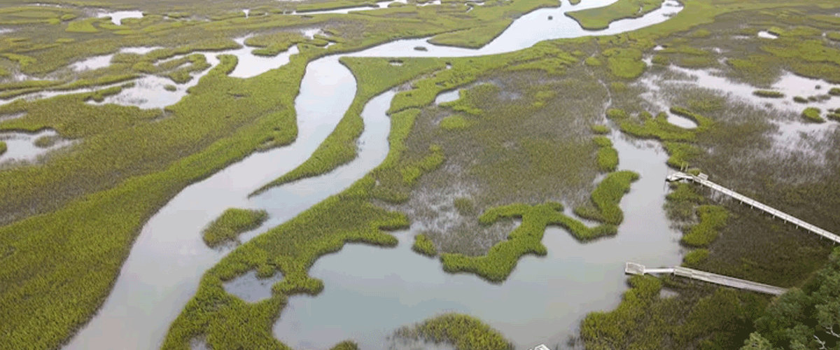
New Model Maps Widespread PFAS Contamination in U.S. Groundwater
A U.S. Geological Survey-led study used machine learning to predict PFAS (“forever chemicals”) in untreated groundwater, revealing that up to 95 million Americans may rely on sources containing detectable levels of 24 PFAS compounds. Urban land use, industrial activity, and proximity to airports or military bases were key predictors. Contamination extends far beyond currently monitored areas, highlighting gaps in federal monitoring programs, especially for private wells and small public systems.
The model offers a national screening tool to guide targeted sampling and policy decisions but is not designed for household-level predictions. Researchers stress the need for rapid regulatory action, as PFAS are persistent, linked to cancer, immune system damage, and other health risks, and can remain in groundwater for decades. Next-generation models aim to estimate contamination levels, improving future water safety and public health protections.
08-09-2025
📰 Recent News
- Study Questions Adequacy of Current Wireless Radiation Limits
- Refinery Blast in Port Arthur Raises Environmental and Equity Concerns
- EPA Proposal to Deregulate Plastic Pyrolysis Plants Sparks Debate
- PFAS Contamination Concerns Escalate Across North Georgia
- Study Links Combined EMF and Air Pollution Exposure to Brain Effects in Mice
- Seattle Cement Plant Faces Backlash Over Tire Burning and Air Pollution
- Tesla Cleared of Permit Violations, but Wastewater Discharge Sparks Local Concerns
- Toxic ‘Forever Chemicals’ Found at Alarming Levels in UK Town Residents
- PFAS-Contaminated Water Linked to Higher Childhood Cancer Risk
- Hidden Risks in ‘BPA-Free’ Baby Products Revealed